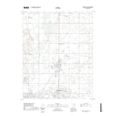
2019 Map of Bartlesville North
USGS Topo · Published 2019About this map
The Caney River and its tributary, the Little Caney River, define the low-lying drainage patterns of this Oklahoma landscape north of the Washington County seat. In 2019, the urban expansion of Bartlesville is clearly visible as it pushes northward to meet Dewey, with a dense grid of residential streets like Michigan St and Tuxedo Blvd giving way to the industrial and agricultural sections of the county.
Find a feature on this map
61 named features on this map. Tap any name to fly to it.
Don’t see what you’re looking for? This feature index may not catch every label — zoom into the map to look around manually.
Map Details
Editions of this 2019 Bartlesville North Map
This is the sole edition of this map. No revisions or reprints were ever made.
Other maps of this area

1901 · Nowata
USGS Topo · 1:125,000

1909 · Pawhuska
USGS Topo · 1:125,000

1910 · Pawhuska
USGS Topo · 1:125,000

1914 · Nowata
USGS Topo · 1:125,000

1954 · Tulsa
USGS Topo · 1:250,000

1955 · Enid
USGS Topo · 1:250,000

1958 · Enid
USGS Topo · 1:250,000

1958 · Tulsa
USGS Topo · 1:250,000

1963 · Tulsa
USGS Topo · 1:250,000
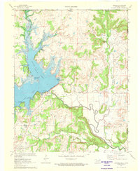
1971 · Bowring
USGS Topo · 1:24,000