Loading...
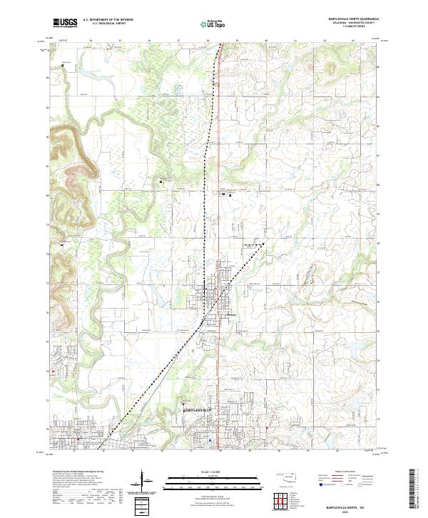
Loading map...2022 Map of Bartlesville North
USGS Topo · Published 2022About this map
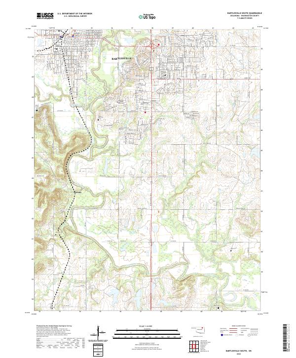
The urban corridor of Bartlesville and Dewey anchors this landscape, following the southern and central reaches of the Caney River valley. The map documents the dense street grids and growing neighborhoods of these northern Oklahoma communities as they stood in the early 21st century. To the west, the river winds through low-lying areas characterized by oxbow features like Long Lake and the confluence with the Little Caney River.
Find a feature on this map
66 named features on this map. Tap any name to fly to it.
Don’t see what you’re looking for? This feature index may not catch every label — zoom into the map to look around manually.
Map Details
Date Portrayed2022
Date Published2022
PublisherU.S. Geological Survey
Map TypeTopographic
Scale1:24000
Physical Dimensions24 x 29 inches
Editions of this 2022 Bartlesville North Map
This is the sole edition of this map. No revisions or reprints were ever made.
Historical Maps of Fonger Addition Through Time
6 maps found
Featured Locations
Source Details
SourceU.S. Geological Survey
CopyrightPublic Domain