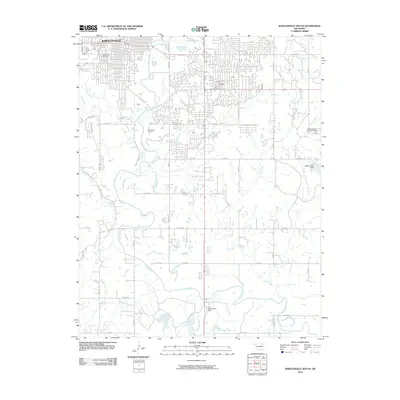
2010 Map of Bartlesville South
USGS Topo · Published 2010About this map
Bartlesville and its southern residential expansions are the primary focus of this 2010 topographic study, showing a landscape defined by the winding course of the Caney River. The river forms a natural spine for the region, joined by several tributaries including Eliza Creek, Keeler Creek, and Fish Creek. Settlement patterns reflect modern growth with the appearance of The Quarters and the Price-75 Development, while local history is preserved in several major burial grounds such as White Rose Cemetery, Silver Lake Cemetery, and Memorial Park Cemetery. The area's water management is evident through multiple infrastructure projects, notably the G C Richardson Dam on the southern reaches of the Caney River and the Richard Kane Dam to the east. The map provides a precise view of the rural-to-suburban transition as it existed a decade ago.
Find a feature on this map
44 named features on this map. Tap any name to fly to it.
Don’t see what you’re looking for? This feature index may not catch every label — zoom into the map to look around manually.
Map Details
Editions of this 2010 Bartlesville South Map
This is the sole edition of this map. No revisions or reprints were ever made.
Other maps of this area

1901 · Nowata
USGS Topo · 1:125,000

1909 · Pawhuska
USGS Topo · 1:125,000

1910 · Pawhuska
USGS Topo · 1:125,000

1914 · Nowata
USGS Topo · 1:125,000

1954 · Tulsa
USGS Topo · 1:250,000

1955 · Enid
USGS Topo · 1:250,000

1958 · Enid
USGS Topo · 1:250,000

1958 · Tulsa
USGS Topo · 1:250,000

1963 · Tulsa
USGS Topo · 1:250,000

1970 · Bartlesville SE
USGS Topo · 1:24,000