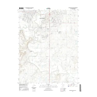
2016 Map of Bartlesville South
USGS Topo · Published 2016About this map
The Caney River meanders across this landscape, defining the transition between the urban reach of Bartlesville and the rural lands to the south. In the northern section, the map documents a developed grid including Oklahoma Wesleyan Univ and several established burial grounds like Memorial Park Cem and White Rose Cem. The presence of these cemeteries, alongside others such as Silver Lake Cem and Jessie Creek Cem, provides significant data for genealogical research in Washington County.
Find a feature on this map
73 named features on this map. Tap any name to fly to it.
Don’t see what you’re looking for? This feature index may not catch every label — zoom into the map to look around manually.
Map Details
Editions of this 2016 Bartlesville South Map
This is the sole edition of this map. No revisions or reprints were ever made.
Other maps of this area

1901 · Nowata
USGS Topo · 1:125,000

1909 · Pawhuska
USGS Topo · 1:125,000

1910 · Pawhuska
USGS Topo · 1:125,000

1914 · Nowata
USGS Topo · 1:125,000

1954 · Tulsa
USGS Topo · 1:250,000

1955 · Enid
USGS Topo · 1:250,000

1958 · Enid
USGS Topo · 1:250,000

1958 · Tulsa
USGS Topo · 1:250,000

1963 · Tulsa
USGS Topo · 1:250,000

1970 · Bartlesville SE
USGS Topo · 1:24,000