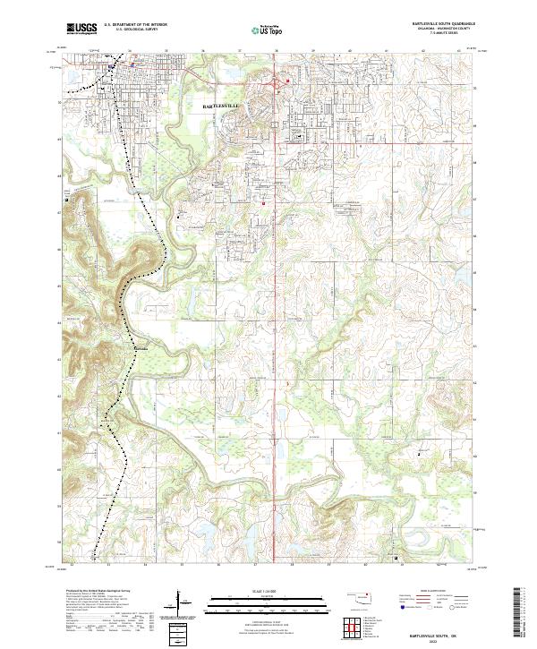
2022 Map of Bartlesville South
USGS Topo · Published 2022About this map
The Caney River and its tributary Keeler Cr define the lower reach of this Washington County landscape, where the southern expansion of Bartlesville meets more rural terrain. This survey details the transition from the dense urban grid of the city, centered around the Washington County Courthouse and Oklahoma Wesleyan University, into the outlying areas of Limestone and the small settlement of Matoaka.
Find a feature on this map
83 named features on this map. Tap any name to fly to it.
Don’t see what you’re looking for? This feature index may not catch every label — zoom into the map to look around manually.
Map Details
Editions of this 2022 Bartlesville South Map
This is the sole edition of this map. No revisions or reprints were ever made.
Other maps of this area

1901 · Nowata
USGS Topo · 1:125,000

1909 · Pawhuska
USGS Topo · 1:125,000

1910 · Pawhuska
USGS Topo · 1:125,000

1914 · Nowata
USGS Topo · 1:125,000

1954 · Tulsa
USGS Topo · 1:250,000

1955 · Enid
USGS Topo · 1:250,000

1958 · Enid
USGS Topo · 1:250,000

1958 · Tulsa
USGS Topo · 1:250,000

1963 · Tulsa
USGS Topo · 1:250,000

1970 · Bartlesville SE
USGS Topo · 1:24,000