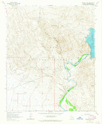
1964 Map of Bartlett Dam
USGS Topo · Published 1965About this map
The Bartlett Dam and its expansive Bartlett Reservoir anchor this 1964 survey of the Verde River corridor within the Tonto National Forest. The landscape is dominated by complex drainage systems like Indian Spring Wash and Camp Creek, which carve through the high elevations of Brushy Mountain and Bootleg Canyon. At this time, infrastructure in the area was limited to essential water management and livestock support, evidenced by labels for a Gaging Station, Corrals, and isolated features like Buckhorn Tank.
Find a feature on this map
24 named features on this map. Tap any name to fly to it.
Don’t see what you’re looking for? This feature index may not catch every label — zoom into the map to look around manually.
Map Details
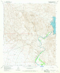
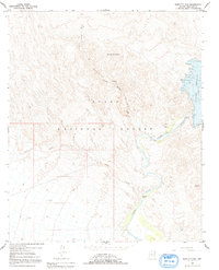
Editions of this 1964 Bartlett Dam Map
3 editions found
Other maps of this area

1904 · Camelback
USGS Topo · 1:62,500

1904 · Ft. McDowell
USGS Topo · 1:62,500

1906 · Camelsback
USGS Topo · 1:62,500

1906 · Ft. McDowell
USGS Topo · 1:62,500

1930 · Cave Creek
USGS Topo · 1:125,000

1939 · Cave Creek
USGS Topo · 1:125,000

1954 · Mesa
USGS Topo · 1:250,000

1957 · Mesa
USGS Topo · 1:250,000

1958 · Mesa
USGS Topo · 1:250,000

1960 · Mesa
USGS Topo · 1:250,000