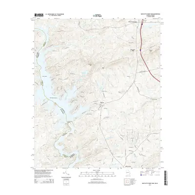
2014 Map of Bartletts Ferry Dam
USGS Topo · Published 2014About this map
Bartletts Ferry Dam stands as the central engineering landmark along the Chattahoochee River, where the borders of Georgia and Alabama meet. This 2014 survey documents the expansive waters of Bartletts Ferry Lake and its intricate shoreline, which is defined by numerous inlets and named landmarks like Herrington Island and Cooks Island. The landscape is a mix of rising terrain such as Pine Mtn and German Mtn alongside the settled rural communities of Antioch and Mountain Hill.
Find a feature on this map
103 named features on this map. Tap any name to fly to it.
Don’t see what you’re looking for? This feature index may not catch every label — zoom into the map to look around manually.
Map Details
Editions of this 2014 Bartletts Ferry Dam Map
This is the sole edition of this map. No revisions or reprints were ever made.
Other maps of this area

1907 · Talbotton
USGS Topo · 1:125,000

1907 · Opelika
USGS Topo · 1:125,000

1909 · Opelika
USGS Topo · 1:125,000

1950 · Fortson
USGS Topo · 1:24,000

1950 · Mulberry Grove
USGS Topo · 1:24,000

1950 · Ellerslie
USGS Topo · 1:62,500
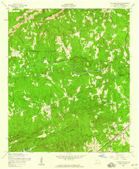
1955 · Mulberry Grove
USGS Topo · 1:24,000
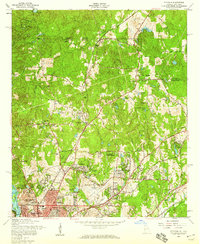
1955 · Fortson
USGS Topo · 1:24,000
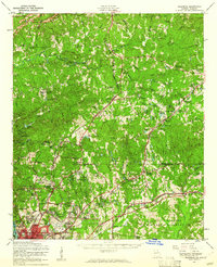
1955 · Ellerslie
USGS Topo · 1:62,500

1955 · Phenix City
USGS Topo · 1:250,000