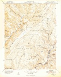
1949 Map of Barton
USGS Topo · Published 1949About this map
Barton and the industrial corridor of Georges Creek anchor this 1940s survey of the Allegany and Garrett County line. The map captures a landscape defined by coal and timber extraction, with active Strip Mines and the Cumberland and Pennsylvania railroad winding through the valley floor. Small mining settlements like Moscow, Morrison, and Pekin Nikep PO line the creek, reflecting a concentrated period of Appalachian resource development.
Find a feature on this map
56 named features on this map. Tap any name to fly to it.
Don’t see what you’re looking for? This feature index may not catch every label — zoom into the map to look around manually.
Map Details
Editions of this 1949 Barton Map
2 editions found
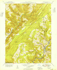
Other maps of this area

1891 · Romney
USGS Topo · 1:125,000

1895 · Piedmont
USGS Topo · 1:125,000

1898 · Frostburg
USGS Topo · 1:62,500

1899 · Grantsville
USGS Topo · 1:62,500

1901 · Frostburg
USGS Topo · 1:62,500

1904 · Grantsville
USGS Topo · 1:62,500

1908 · Frostburg
USGS Topo · 1:62,500

1919 · Elk Garden
USGS Topo · 1:48,000

1920 · Elk Garden
USGS Topo · 1:48,000

1920 · Keyser
USGS Topo · 1:62,500