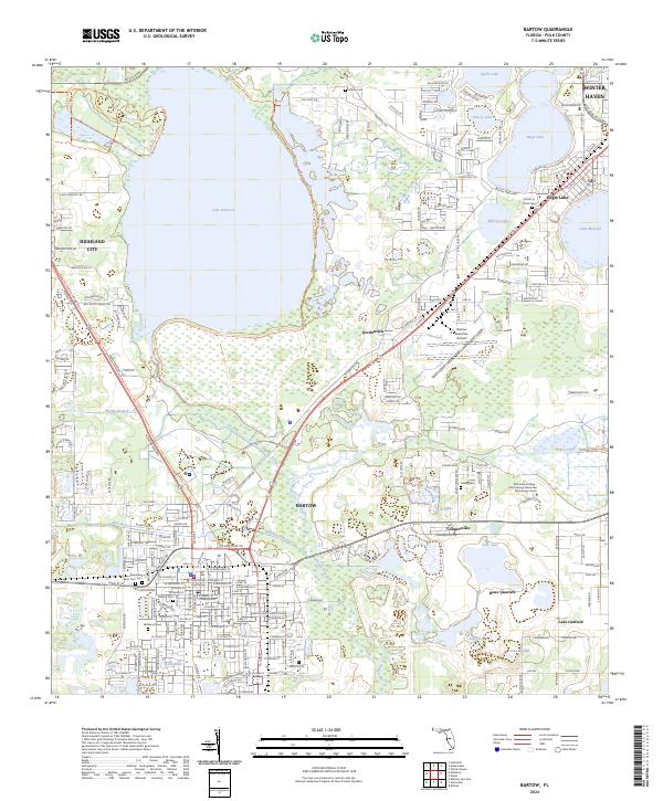
2024 Map of Bartow
USGS Topo · Published 2024About this map
Bartow serves as the focal point of this 2024 landscape, where the confluence of Saddle Creek and Peace Creek forms the Peace River. The map reveals a high concentration of water bodies, from the expansive Lake Hancock and Eagle Lake to smaller basins like Tice Lake and Lake Garfield. This area, deeply tied to the phosphate industry and regional transit, is interlaced with modern corridors like E Van Fleet Dr and the recreational Fort Fraser Trl.
Find a feature on this map
140 named features on this map. Tap any name to fly to it.
Don’t see what you’re looking for? This feature index may not catch every label — zoom into the map to look around manually.
Map Details
Editions of this 2024 Bartow Map
This is the sole edition of this map. No revisions or reprints were ever made.
Other maps of this area

1944 · Lakeland
USGS Topo · 1:31,680

1944 · Auburndale
USGS Topo · 1:31,680

1949 · Mulberry
USGS Topo · 1:24,000

1949 · Bartow
USGS Topo · 1:24,000

1949 · Bradley Junction
USGS Topo · 1:24,000

1950 · Mulberry
USGS Topo · 1:24,000

1950 · Bartow
USGS Topo · 1:24,000

1950 · Bradley Junction
USGS Topo · 1:24,000

1952 · Homeland
USGS Topo · 1:24,000

1955 · Eloise
USGS Topo · 1:24,000