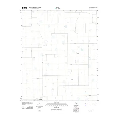
2010 Map of Barwise
USGS Topo · Published 2010About this map
Petersburg sits at the southern edge of this West Texas landscape, serving as a primary point of reference for the surrounding rural agricultural region. The terrain is defined by a grid of farm-to-market roads and county lines, such as Fm 789 and Co Rd 225, which connect isolated settlements and farmsteads across the High Plains. Scattered throughout this area are several small communities including Barwise in the north and Harmony in the east, which represent the localized hubs of this ranching and farming territory.
Find a feature on this map
36 named features on this map. Tap any name to fly to it.
Don’t see what you’re looking for? This feature index may not catch every label — zoom into the map to look around manually.
Map Details
Editions of this 2010 Barwise Map
This is the sole edition of this map. No revisions or reprints were ever made.
Other maps of this area

1954 · Lubbock
USGS Topo · 1:250,000

1954 · Plainview
USGS Topo · 1:250,000

1958 · Plainview
USGS Topo · 1:250,000

1965 · Petersburg
USGS Topo · 1:24,000

1965 · Heckville
USGS Topo · 1:24,000

1965 · Cone
USGS Topo · 1:24,000

1965 · Lockney
USGS Topo · 1:24,000

1965 · Sandhill
USGS Topo · 1:24,000

1968 · Happy Union
USGS Topo · 1:24,000

1968 · Barwise
USGS Topo · 1:24,000