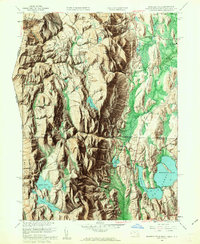
1958 Map of Bashbish Falls
USGS Topo · Published 1963About this map
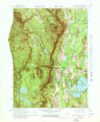
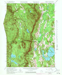
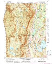
Bashbish Falls State Forest and the Mt Everett Reservation dominate this mid-century topographic portrait of the tri-state corner where Massachusetts, Connecticut, and New York converge. The landscape is defined by high peaks and deep incisions like Sages Ravine, but the lower elevations reveal a network of human settlement and agriculture. Small hamlets such as Taconic, Hammertown, and Joyceville sit along the winding Under Mountain Road, while the waters of Washining Lake and Washinee Lake anchor the southern valleys. Genealogists and local historians can locate legacy sites including the Union Ch and Churchill Cem. The presence of the Mt Washington Lookout Tower atop the heights and the Landing Strip near the Schenob Brook valley illustrate how this terrain was managed for both observation and utility in the late 1950s.
Find a feature on this map
83 named features on this map. Tap any name to fly to it.
Don’t see what you’re looking for? This feature index may not catch every label — zoom into the map to look around manually.
Map Details
Editions of this 1958 Bashbish Falls Map
8 editions found

Other maps of this area

1885 · Sheffield
USGS Topo · 1:62,500

1888 · Sheffield
USGS Topo · 1:62,500

1891 · Sheffield
USGS Topo · 1:62,500

1892 · Cornwall
USGS Topo · 1:62,500

1893 · Sheffield
USGS Topo · 1:62,500

1893 · Cornwall
USGS Topo · 1:62,500

1897 · Sheffield
USGS Topo · 1:62,500

1899 · Housatonic
USGS Topo · 1:125,000

1899 · Millbrook
USGS Topo · 1:62,500

1900 · Housatonic
USGS Topo · 1:125,000