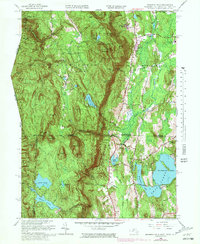
1958 Map of Bashbish Falls
USGS Topo · Published 1981About this map
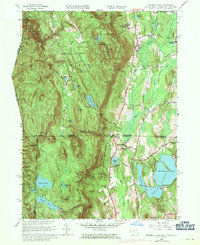
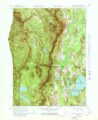
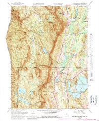
The dramatic tri-state border region where Massachusetts, Connecticut, and New York converge is defined by the steep elevation of the Taconic Mountains. High-altitude water bodies like Riga Lake and South Pond drain toward the eastern valley, while the iconic Bashbish Falls drops through the Bashbish Falls State Forest to the west. The landscape is a mix of protected wilderness and established educational and religious institutions, including the Berkshire Sch and the Union Ch near the center of the Mount Washington area.
Find a feature on this map
70 named features on this map. Tap any name to fly to it.
Don’t see what you’re looking for? This feature index may not catch every label — zoom into the map to look around manually.
Map Details
Editions of this 1958 Bashbish Falls Map
8 editions found

Other maps of this area

1885 · Sheffield
USGS Topo · 1:62,500

1888 · Sheffield
USGS Topo · 1:62,500

1891 · Sheffield
USGS Topo · 1:62,500

1892 · Cornwall
USGS Topo · 1:62,500

1893 · Sheffield
USGS Topo · 1:62,500

1893 · Cornwall
USGS Topo · 1:62,500

1897 · Sheffield
USGS Topo · 1:62,500

1899 · Housatonic
USGS Topo · 1:125,000

1899 · Millbrook
USGS Topo · 1:62,500

1900 · Housatonic
USGS Topo · 1:125,000