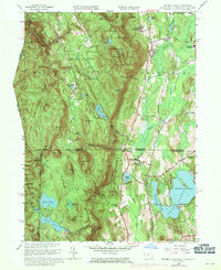
1958 Map of Bashbish Falls
USGS Topo · Published 1971About this map
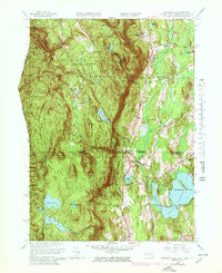
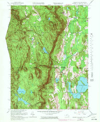
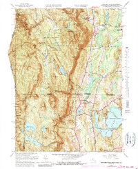
Bashbish Falls and the surrounding high peaks of the Taconic Range dominate this three-state border region, where Massachusetts, Connecticut, and New York converge. The landscape is defined by its dramatic elevation changes, from the heights of Mt Everett and Mt Race down to the watery basins of Twin Lakes and Washingining Lake. This 1958 edition, with updates reflecting the late 1960s, documents a transition in the local economy as it shifts from rural industry toward recreation and conservation. The path of the Appalachian Trail winds through the Mt Everett Reservation and down through Sages Ravine, tracing the ridge lines between peaks like Mt Plantain and Bear Mtn. Along the eastern lowlands, the Penn Central railroad serves the small communities of Taconic and Hammertown, while institutional footprints like the Berkshire Sch and Mt Everett Regional Sch anchor the local population centers.
Find a feature on this map
76 named features on this map. Tap any name to fly to it.
Don’t see what you’re looking for? This feature index may not catch every label — zoom into the map to look around manually.
Map Details
Editions of this 1958 Bashbish Falls Map
8 editions found

Other maps of this area

1885 · Sheffield
USGS Topo · 1:62,500

1888 · Sheffield
USGS Topo · 1:62,500

1891 · Sheffield
USGS Topo · 1:62,500

1892 · Cornwall
USGS Topo · 1:62,500

1893 · Sheffield
USGS Topo · 1:62,500

1893 · Cornwall
USGS Topo · 1:62,500

1897 · Sheffield
USGS Topo · 1:62,500

1899 · Housatonic
USGS Topo · 1:125,000

1899 · Millbrook
USGS Topo · 1:62,500

1900 · Housatonic
USGS Topo · 1:125,000