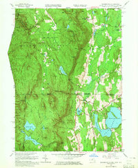
1958 Map of Bashbish Falls
USGS Topo · Published 1965About this map
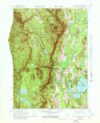
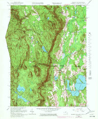
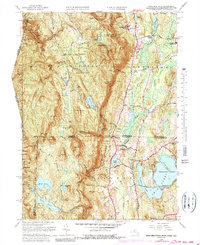
The Tri-State corner of Massachusetts, Connecticut, and New York is dominated by the high peaks of the Taconic Range, anchored by Mt Everett and the Bashbish Falls State Forest. This mid-century survey captures a landscape of intense relief where Bashbish Brook carves through the mountains toward the landmark Bashbish Falls. To the east, the terrain transitions into the Housatonic Valley, where the educational influence of the Berkshire Sch and Mt Everett Regional Sch is evident. The map details a network of water bodies, from the high Guilder Pond near the Mt Washington Lookout Tower to the expansive Twin Lakes complex near Taconic. Traces of earlier settlements appear in the clusters of Hammertown and Joyceville, while the Appalachian Trail follows the ridge lines through Sages Ravine, marking a path through some of the region's most prominent summits like Mt Race and Bear Mtn.
Find a feature on this map
87 named features on this map. Tap any name to fly to it.
Don’t see what you’re looking for? This feature index may not catch every label — zoom into the map to look around manually.
Map Details
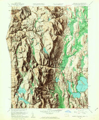
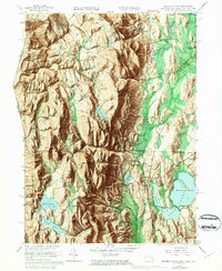
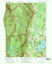
Editions of this 1958 Bashbish Falls Map
8 editions found

Other maps of this area

1885 · Sheffield
USGS Topo · 1:62,500

1888 · Sheffield
USGS Topo · 1:62,500

1891 · Sheffield
USGS Topo · 1:62,500

1892 · Cornwall
USGS Topo · 1:62,500

1893 · Sheffield
USGS Topo · 1:62,500

1893 · Cornwall
USGS Topo · 1:62,500

1897 · Sheffield
USGS Topo · 1:62,500

1899 · Housatonic
USGS Topo · 1:125,000

1899 · Millbrook
USGS Topo · 1:62,500

1900 · Housatonic
USGS Topo · 1:125,000