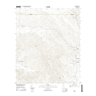
2014 Map of Bashi
USGS Topo · Published 2014About this map
The boundary between Marengo and Clarke counties runs through this upland region, where a network of creeks like Bashi Creek and Johnson Creek carve through the landscape. The area is defined by small, long-established rural communities and family landmarks. The settlement of Bashi sits in the northwest, near its namesake Bashi Cemetery, while the southern reaches are home to Tallahatta Springs and Midway.
Find a feature on this map
48 named features on this map. Tap any name to fly to it.
Don’t see what you’re looking for? This feature index may not catch every label — zoom into the map to look around manually.
Map Details
Editions of this 2014 Bashi Map
This is the sole edition of this map. No revisions or reprints were ever made.
Other maps of this area

1953 · Montgomery
USGS Topo · 1:250,000

1953 · Andalusia
USGS Topo · 1:250,000

1956 · Montgomery
USGS Topo · 1:250,000

1957 · Montgomery
USGS Topo · 1:250,000

1957 · Andalusia
USGS Topo · 1:250,000

1973 · Fulton East
USGS Topo · 1:24,000

1973 · Thomasville
USGS Topo · 1:24,000

1978 · Surginer
USGS Topo · 1:24,000

1978 · Sweet Water
USGS Topo · 1:24,000

1978 · McEntyre
USGS Topo · 1:24,000