
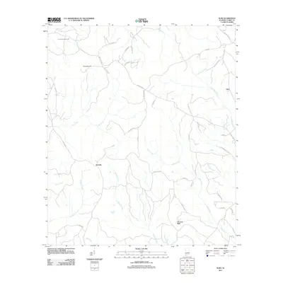
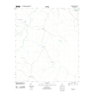
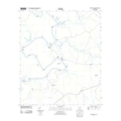
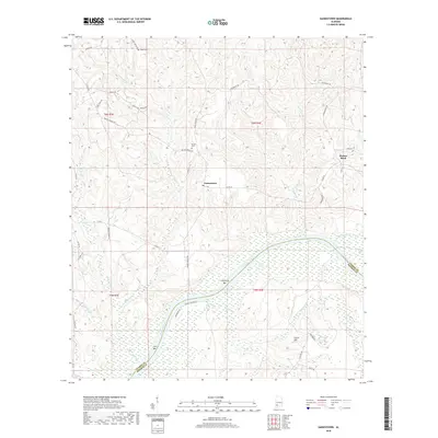
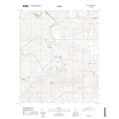
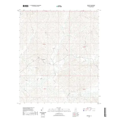
2024 Map of Bashi
USGS Topo · Published 2024About this map
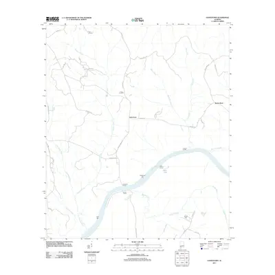
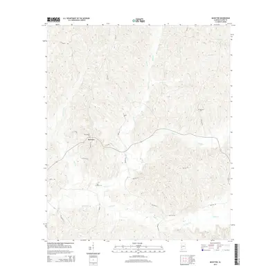
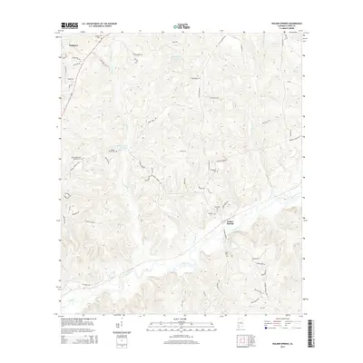
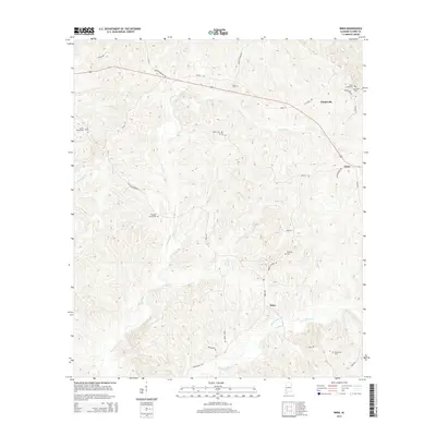
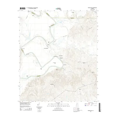
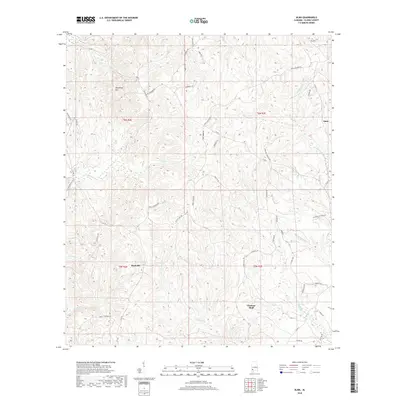
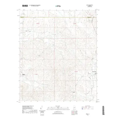
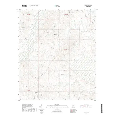
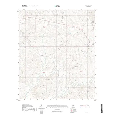
Bashi Creek and its many tributaries, including Johnson Creek and Robinson Creek, carve through the rural borderlands between Marengo and Clarke Counties. This landscape is defined by its deep-rooted community markers, notably the cemeteries that anchor small settlements like Bashi and Glover. Toward the southeast, the terrain transitions toward the outskirts of Thomasville, where the density of development increases near McFadden Memorial Gardens. Historically significant water sources such as Tallahatta Springs and Tallahatta Creek are clearly delineated, reflecting the area's reliance on these natural features for early settlement. The map also captures several family-named landmarks and rural burial sites, such as Elam Cem and Choctaw Corner Cem, which serve as vital points of interest for those tracing the lineage of local families across this part of Alabama.
Find a feature on this map
51 named features on this map. Tap any name to fly to it.
Don’t see what you’re looking for? This feature index may not catch every label — zoom into the map to look around manually.
Map Details
Editions of this 2024 Bashi Map
This is the sole edition of this map. No revisions or reprints were ever made.
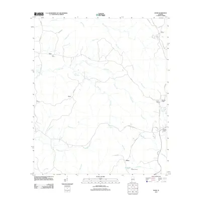
Historical Maps of Thomasville Through Time
86 maps found

1943 Choctaw Bluff
Clarke County, AL

1946 Choctaw Bluff
Clarke County, AL

1972 Chance
Clarke County, AL

1972 Gainestown
Clarke County, AL

1972 Suggsville
Clarke County, AL

1972 Tattlersville
Clarke County, AL

1972 Woods Bluff
Clarke County, AL

1973 Fulton East
Clarke County, AL

1973 Lower Peach Tree
Clarke County, AL

1978 Bashi
Clarke County, AL

1978 Fulton West
Clarke County, AL

1978 McEntyre
Clarke County, AL

1978 Morvin
Clarke County, AL

1978 Walker Springs
Clarke County, AL

1978 Winn
Clarke County, AL

1983 Choctaw Bluff NE
Clarke County, AL
2011 Alma
Clarke County, AL
2011 Bashi
Clarke County, AL
2011 Chance
Clarke County, AL

2011 Fulton East
Clarke County, AL
2011 Fulton West
Clarke County, AL
2011 Gainestown
Clarke County, AL
2011 Lower Peach Tree
Clarke County, AL
2011 McEntyre
Clarke County, AL
2011 Morvin
Clarke County, AL
2011 Suggsville
Clarke County, AL
2011 Tattlersville
Clarke County, AL
2011 Walker Springs
Clarke County, AL
2011 Winn
Clarke County, AL
2011 Woods Bluff
Clarke County, AL
2014 Alma
Clarke County, AL
2014 Bashi
Clarke County, AL
2014 Chance
Clarke County, AL
2014 Fulton East
Clarke County, AL
2014 Fulton West
Clarke County, AL
2014 Gainestown
Clarke County, AL
2014 Lower Peach Tree
Clarke County, AL
2014 McEntyre
Clarke County, AL
2014 Morvin
Clarke County, AL
2014 Suggsville
Clarke County, AL
2014 Tattlersville
Clarke County, AL
2014 Walker Springs
Clarke County, AL
2014 Winn
Clarke County, AL
2014 Woods Bluff
Clarke County, AL
2018 Alma
Clarke County, AL
2018 Bashi
Clarke County, AL
2018 Chance
Clarke County, AL
2018 Fulton East
Clarke County, AL
2018 Fulton West
Clarke County, AL
2018 Gainestown
Clarke County, AL
2018 Lower Peach Tree
Clarke County, AL
2018 McEntyre
Clarke County, AL
2018 Morvin
Clarke County, AL
2018 Suggsville
Clarke County, AL
2018 Tattlersville
Clarke County, AL
2018 Walker Springs
Clarke County, AL
2018 Winn
Clarke County, AL
2018 Woods Bluff
Clarke County, AL

2020 Alma
Clarke County, AL

2020 Bashi
Clarke County, AL
2020 Chance
Clarke County, AL

2020 Fulton East
Clarke County, AL

2020 Fulton West
Clarke County, AL
2020 Gainestown
Clarke County, AL
2020 Lower Peach Tree
Clarke County, AL
2020 McEntyre
Clarke County, AL
2020 Morvin
Clarke County, AL
2020 Suggsville
Clarke County, AL

2020 Tattlersville
Clarke County, AL
2020 Walker Springs
Clarke County, AL
2020 Winn
Clarke County, AL

2020 Woods Bluff
Clarke County, AL

2024 Alma
Clarke County, AL
2024 Bashi
Clarke County, AL

2024 Chance
Clarke County, AL

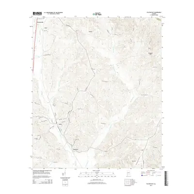
2024 Fulton East
Clarke County, AL

2024 Fulton West
Clarke County, AL

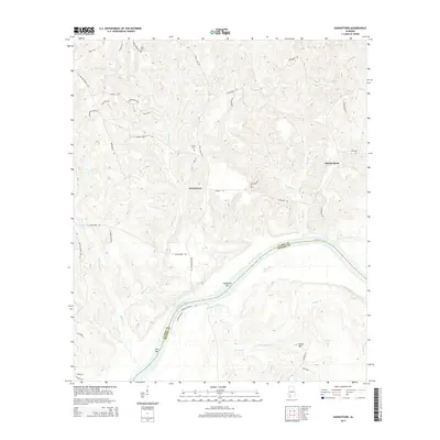
2024 Gainestown
Clarke County, AL

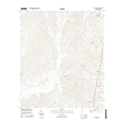
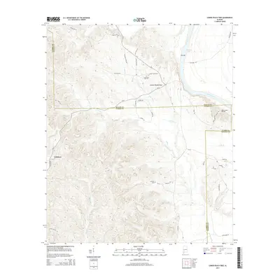
2024 Lower Peach Tree
Clarke County, AL

2024 McEntyre
Clarke County, AL

2024 Morvin
Clarke County, AL

2024 Suggsville
Clarke County, AL

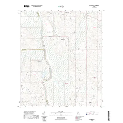
2024 Tattlersville
Clarke County, AL

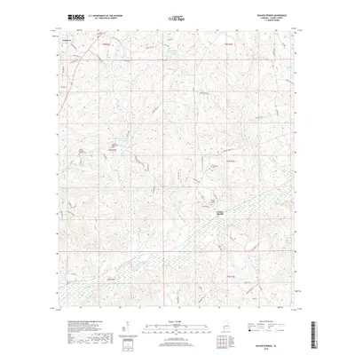
2024 Walker Springs
Clarke County, AL

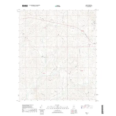
2024 Winn
Clarke County, AL

2024 Woods Bluff
Clarke County, AL