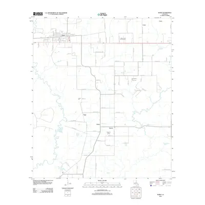
2012 Map of Basile
USGS Topo · Published 2012About this map
The town of Basile serves as the focal point for this landscape in Evangeline Parish, where the Acadian prairie meets the winding course of Bayou Nezpique. The map illustrates a region defined by its energy and agricultural sectors, featuring the expansive North Tepetate Oil and Gas Field and the adjacent Tepetate Oil and Gas Field. This industrial footprint is integrated into a network of drainage and transport systems, including the Mamou Canal and Berwick Cr.
Find a feature on this map
69 named features on this map. Tap any name to fly to it.
Don’t see what you’re looking for? This feature index may not catch every label — zoom into the map to look around manually.
Map Details
Editions of this 2012 Basile Map
This is the sole edition of this map. No revisions or reprints were ever made.
Other maps of this area

1947 · Evangeline
USGS Topo · 1:31,680

1947 · Fruge Lake
USGS Topo · 1:31,680

1947 · Redland
USGS Topo · 1:31,680

1947 · Elton
USGS Topo · 1:31,680

1947 · Eunice
USGS Topo · 1:31,680

1947 · Hathaway
USGS Topo · 1:31,680

1947 · Iota
USGS Topo · 1:31,680

1947 · Basile
USGS Topo · 1:31,680

1949 · Bayou Blue
USGS Topo · 1:31,680

1949 · Basile
USGS Topo · 1:31,680