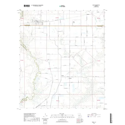
2018 Map of Basile
USGS Topo · Published 2018About this map
Basile serves as the primary hub of this prairie landscape, where the town grid is defined by streets like W Stagg Ave and S Ryan Ave near the parish line. The surrounding countryside is marked by smaller named settlements such as Unatex, Redich, and Tepetate, illustrating the late-20th-century rural settlement patterns of the region. Local aviation history is grounded at Millers Flying Service, while the hydrology of the area is shaped by Berwick Cr, Bayou Barwick, and the Tiger Point Gully. For those tracing family history in this corner of Louisiana, the map identifies significant burial sites including Langley Cem and Reed Cem, situated amidst a network of rural routes like Alfa Romeo Rd and Bryan Perrodin Loop.
Find a feature on this map
81 named features on this map. Tap any name to fly to it.
Don’t see what you’re looking for? This feature index may not catch every label — zoom into the map to look around manually.
Map Details
Editions of this 2018 Basile Map
This is the sole edition of this map. No revisions or reprints were ever made.
Other maps of this area

1947 · Evangeline
USGS Topo · 1:31,680

1947 · Fruge Lake
USGS Topo · 1:31,680

1947 · Redland
USGS Topo · 1:31,680

1947 · Elton
USGS Topo · 1:31,680

1947 · Eunice
USGS Topo · 1:31,680

1947 · Hathaway
USGS Topo · 1:31,680

1947 · Iota
USGS Topo · 1:31,680

1947 · Basile
USGS Topo · 1:31,680

1949 · Bayou Blue
USGS Topo · 1:31,680

1949 · Basile
USGS Topo · 1:31,680