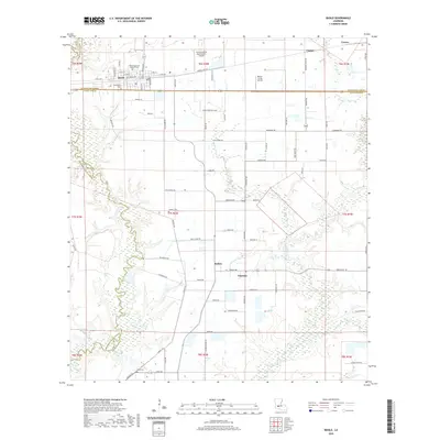
2020 Map of Basile
USGS Topo · Published 2020About this map
The prairie and marshland of the Acadiana region define this 2020 landscape, centered on the community of Basile. Situated along the boundary of Evangeline and Acadia parishes, the town's grid is anchored by family and religious sites like Saint Augustine Catholic Cemetery and Assumption Cemetery. This area reflects the rural aviation and agricultural infrastructure of modern Louisiana, evidenced by specialized facilities such as the Lejeune Aerial Applications Airport and Millers Flying Service.
Find a feature on this map
76 named features on this map. Tap any name to fly to it.
Don’t see what you’re looking for? This feature index may not catch every label — zoom into the map to look around manually.
Map Details
Editions of this 2020 Basile Map
This is the sole edition of this map. No revisions or reprints were ever made.
Other maps of this area

1947 · Evangeline
USGS Topo · 1:31,680

1947 · Fruge Lake
USGS Topo · 1:31,680

1947 · Redland
USGS Topo · 1:31,680

1947 · Elton
USGS Topo · 1:31,680

1947 · Eunice
USGS Topo · 1:31,680

1947 · Hathaway
USGS Topo · 1:31,680

1947 · Iota
USGS Topo · 1:31,680

1947 · Basile
USGS Topo · 1:31,680

1949 · Bayou Blue
USGS Topo · 1:31,680

1949 · Basile
USGS Topo · 1:31,680