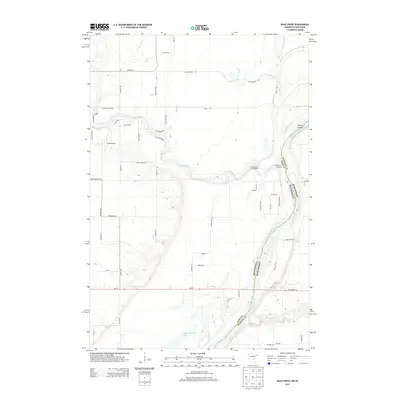
2013 Map of Bass Creek
USGS Topo · Published 2013About this map
The Saint Croix River forms the primary geographic and political boundary on this 2013 survey, separating Pine County, Minnesota, from Burnett County, Wisconsin. This riverine landscape is defined by the confluence of several major waterways, most notably the Snake River, which winds through the western half of the map before meeting the Saint Croix at Snake River Landing. The convergence of these waters created a natural focus for recreation and transportation, evidenced by the Snake River Campground and the network of local routes like Crooked River Rd and River Rd.
Find a feature on this map
58 named features on this map. Tap any name to fly to it.
Don’t see what you’re looking for? This feature index may not catch every label — zoom into the map to look around manually.
Map Details
Editions of this 2013 Bass Creek Map
This is the sole edition of this map. No revisions or reprints were ever made.
Other maps of this area

1950 · Rush City
USGS Topo · 1:48,000

1950 · Grantsburg
USGS Topo · 1:48,000

1951 · Milltown
USGS Topo · 1:48,000

1953 · Stillwater
USGS Topo · 1:250,000

1955 · Rush City
USGS Topo · 1:62,500

1955 · Milltown
USGS Topo · 1:62,500

1955 · Stillwater
USGS Topo · 1:250,000

1958 · Stillwater
USGS Topo · 1:250,000

1961 · Pine City
USGS Topo · 1:62,500

1962 · Grantsburg
USGS Topo · 1:62,500