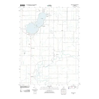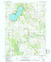
1962 Map of Bass Lake
USGS Topo · Published 1987About this map
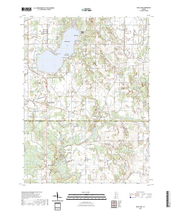
Bass Lake serves as the focal point of this northern Indiana landscape, where the transition from a recreation-focused shoreline to an intensive drainage network is clearly visible. Along the water, the lakeside communities of Winona and Bass Lake are supported by the Bass Lake State Beach and the adjacent Bass Lake State Fish Hatchery. The map captures a high level of rural infrastructure designed to manage the low-lying terrain, including an intricate system of named ditches such as Craigmile Ditch and Chesapeake Ditch that feed into the Tippecanoe River.
Find a feature on this map
51 named features on this map. Tap any name to fly to it.
Don’t see what you’re looking for? This feature index may not catch every label — zoom into the map to look around manually.
Map Details
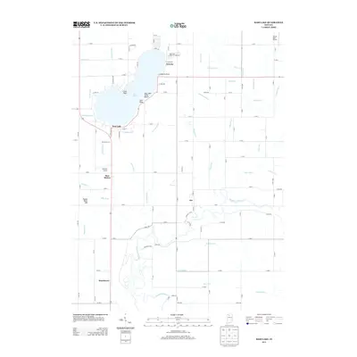
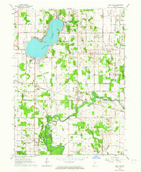
Editions of this 1962 Bass Lake Map
2 editions found
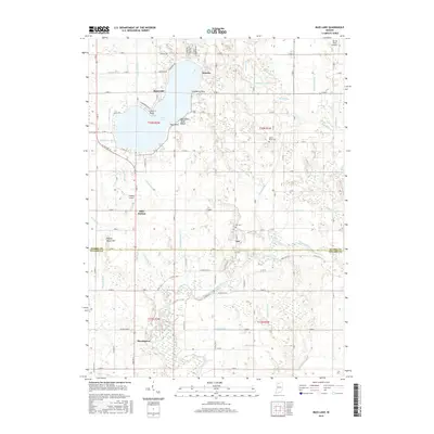
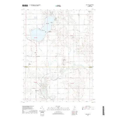
Historical Maps of Ora Through Time
6 maps found