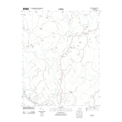
2011 Map of Bassett
USGS Topo · Published 2011About this map
Bassett and its surrounding communities in Henry County are centered along the Smith River in the southwestern portion of this 2011 survey. The landscape is defined by its deep genealogical footprint, evidenced by dozens of family-named cemeteries such as the Ramsey-Stanley-King Cemetery, Hurt-Thompson Cemetery, and Gardner-Ramsey Cemetery. This concentration of family burial grounds suggests a history of long-tenured kinship groups and ancestral homesteads scattered across the hills near Fork Mountain and Skelt Mountain.
Find a feature on this map
123 named features on this map. Tap any name to fly to it.
Don’t see what you’re looking for? This feature index may not catch every label — zoom into the map to look around manually.
Map Details
Editions of this 2011 Bassett Map
This is the sole edition of this map. No revisions or reprints were ever made.
Other maps of this area

1924 · Martinsville
USGS Topo · 1:48,000

1925 · Rocky Mount
USGS Topo · 1:48,000

1926 · Martinsville
USGS Topo · 1:62,500

1926 · Critz
USGS Topo · 1:48,000

1927 · Rocky Mount
USGS Topo · 1:62,500

1927 · Martinsville
USGS Topo · 1:62,500

1928 · Critz
USGS Topo · 1:62,500

1944 · Martinsville
USGS Topo · 1:62,500

1944 · Rocky Mount
USGS Topo · 1:62,500

1953 · Winston-Salem
USGS Topo · 1:250,000