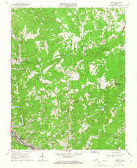
1965 Map of Bassett
USGS Topo · Published 1966About this map
Smith River and the Norfolk and Western railroad corridor define the industrial and residential spine of this mid-1960s landscape, anchored by the towns of Bassett and North Bassett. The map documents a period of significant local development, showing a complex of residential blocks and a High Sch tucked against the river's bend. Further north, the terrain transitions into a more rural pattern where small communities like Henry and Oak Level are linked by a network of winding roads and numerous family and community landmarks.
Find a feature on this map
39 named features on this map. Tap any name to fly to it.
Don’t see what you’re looking for? This feature index may not catch every label — zoom into the map to look around manually.
Map Details
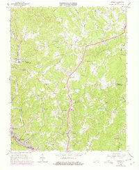
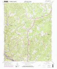
Editions of this 1965 Bassett Map
Other maps of this area

1924 · Martinsville
USGS Topo · 1:48,000

1925 · Rocky Mount
USGS Topo · 1:48,000

1926 · Martinsville
USGS Topo · 1:62,500

1926 · Critz
USGS Topo · 1:48,000

1927 · Rocky Mount
USGS Topo · 1:62,500

1927 · Martinsville
USGS Topo · 1:62,500

1928 · Critz
USGS Topo · 1:62,500

1944 · Martinsville
USGS Topo · 1:62,500

1944 · Rocky Mount
USGS Topo · 1:62,500

1953 · Winston-Salem
USGS Topo · 1:250,000