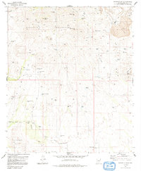
1981 Map of Batamote Hills
USGS Topo · Published 1992About this map
The Sierrita Mountains and the Batamote Hills dominate this arid landscape, where the distribution of water sources reveals the vital infrastructure of desert ranching and mining. A network of man-made and natural catchments, such as Black Hawk Tank, Tios Tank, and Mesquite Tanks, are scattered across the terrain to support livestock, while deeper subterranean access is found at Lobo Well and Adobe House Well. The settlement pattern centers on the Batamote Ranch and the nearby locality of Batamote, connected by the rugged Batamote Road.
Find a feature on this map
58 named features on this map. Tap any name to fly to it.
Don’t see what you’re looking for? This feature index may not catch every label — zoom into the map to look around manually.
Map Details
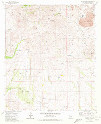
Editions of this 1981 Batamote Hills Map
2 editions found
Other maps of this area

1920 · Arivaca
USGS Topo · 1:125,000

1925 · Samaniego Peak
USGS Topo · 1:62,500

1939 · Twin Buttes
USGS Topo · 1:62,500

1939 · Tubac
USGS Topo · 1:62,500

1940 · Palo Alto Ranch
USGS Topo · 1:62,500

1941 · Twin Buttes
USGS Topo · 1:62,500

1941 · Arivaca
USGS Topo · 1:62,500

1943 · Arivaca
USGS Topo · 1:62,500

1943 · Palo Alto Ranch
USGS Topo · 1:62,500

1943 · Tubac
USGS Topo · 1:62,500