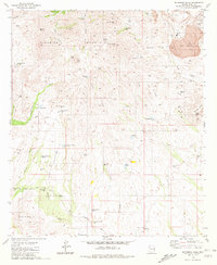
1981 Map of Batamote Hills
USGS Topo · Published 1981About this map
The Sierrita Mountains dominate this high-desert landscape in Pima County, rising above a network of seasonal washes and scattered ranching infrastructure. At the heart of the terrain, the Batamote Hills and Tinaja Hills provide a backdrop for a series of water developments critical to local life, such as Batamote Well and the Adobe House Well. The map captures the area's mineral interests and rugged peaks, including Red Boy Peak and Ritchey Peak, alongside the presence of the Blackhawk Mine and its associated mine dump. Small-scale details like a single Grave near Lobo Peak and the tracks of the San Juan Ranch Road suggest the solitary nature of land use in this corner of the Arizona desert during the early 1980s. A complex system of tanks, from Chimney Tank to the Mesquite Tanks, illustrates the persistent effort to manage water across the arid basins.
Find a feature on this map
56 named features on this map. Tap any name to fly to it.
Don’t see what you’re looking for? This feature index may not catch every label — zoom into the map to look around manually.
Map Details
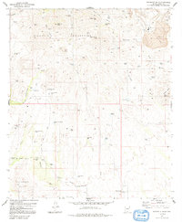
Editions of this 1981 Batamote Hills Map
2 editions found
Other maps of this area

1920 · Arivaca
USGS Topo · 1:125,000

1925 · Samaniego Peak
USGS Topo · 1:62,500

1939 · Twin Buttes
USGS Topo · 1:62,500

1939 · Tubac
USGS Topo · 1:62,500

1940 · Palo Alto Ranch
USGS Topo · 1:62,500

1941 · Twin Buttes
USGS Topo · 1:62,500

1941 · Arivaca
USGS Topo · 1:62,500

1943 · Arivaca
USGS Topo · 1:62,500

1943 · Palo Alto Ranch
USGS Topo · 1:62,500

1943 · Tubac
USGS Topo · 1:62,500