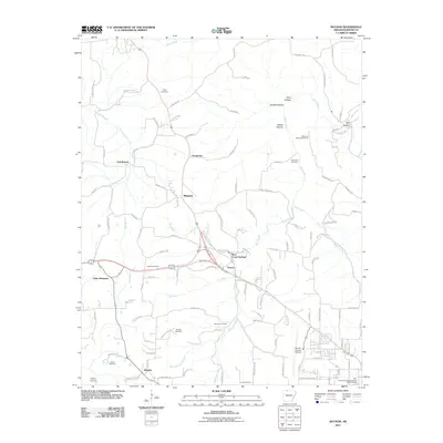
2011 Map of Batavia
USGS Topo · Published 2011About this map
Batavia and the surrounding rural communities of Prosperity, Ridgeway, and Francis anchor this documentation of northwest Arkansas. The landscape is defined by the winding paths of Bear Creek, Wolf Creek, and Denning Creek, which have carved out notable landforms such as Keys Hollow and Mill Hollow. This survey provides a precise view of the region's burial grounds, featuring numerous named sites including Gass Cemetery, Thomason Cemetery, and Sanders Cemetery.
Find a feature on this map
102 named features on this map. Tap any name to fly to it.
Don’t see what you’re looking for? This feature index may not catch every label — zoom into the map to look around manually.
Map Details
Editions of this 2011 Batavia Map
This is the sole edition of this map. No revisions or reprints were ever made.
Other maps of this area

1904 · Harrison
USGS Topo · 1:125,000

1905 · Harrison
USGS Topo · 1:125,000

1945 · Harrison
USGS Topo · 1:250,000

1949 · Harrison
USGS Topo · 1:250,000

1954 · Harrison
USGS Topo · 1:250,000

1958 · Harrison
USGS Topo · 1:250,000

1964 · Harrison
USGS Topo · 1:250,000
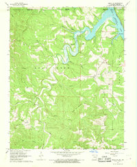
1966 · Omaha NE
USGS Topo · 1:24,000
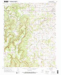
1967 · Gaither
USGS Topo · 1:24,000
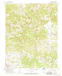
1967 · Bergman
USGS Topo · 1:24,000