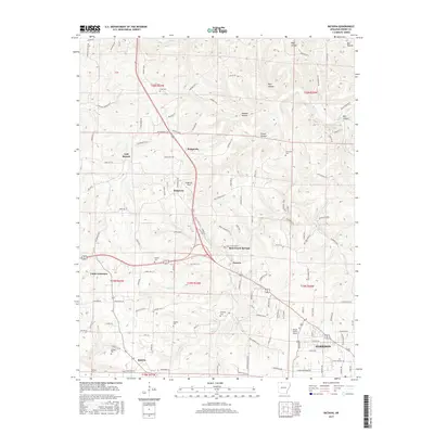
2017 Map of Batavia
USGS Topo · Published 2017About this map
Harrison and its northern outskirts are the focal point of this survey, revealing the organized landscape of Boone County Airport and a series of rural communities. The map provides a detailed record of lineage and local history through its numerous burial sites, including Gass Cem, Loback Cem, and Gifford Cem, which are scattered throughout the hills north of Batavia.
Find a feature on this map
165 named features on this map. Tap any name to fly to it.
Don’t see what you’re looking for? This feature index may not catch every label — zoom into the map to look around manually.
Map Details
Editions of this 2017 Batavia Map
This is the sole edition of this map. No revisions or reprints were ever made.
Other maps of this area

1904 · Harrison
USGS Topo · 1:125,000

1905 · Harrison
USGS Topo · 1:125,000

1945 · Harrison
USGS Topo · 1:250,000

1949 · Harrison
USGS Topo · 1:250,000

1954 · Harrison
USGS Topo · 1:250,000

1958 · Harrison
USGS Topo · 1:250,000

1964 · Harrison
USGS Topo · 1:250,000
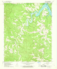
1966 · Omaha NE
USGS Topo · 1:24,000
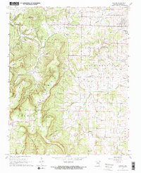
1967 · Gaither
USGS Topo · 1:24,000
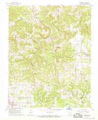
1967 · Bergman
USGS Topo · 1:24,000