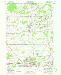
1950 Map of Batavia North
USGS Topo · Published 1978About this map
Batavia serves as the focal point for this mid-century survey of Genesee County, showing a concentration of institutional and civic landmarks including the State School for the Blind, the Veterans Hospital, and McArthur Stadium. The landscape transitions from the urbanized streets of Batavia Downs to the sprawling agricultural muckland to the north. Drainage patterns are dominated by Tonawanda Creek in the south and the significant expanse of the Oak Orchard Swamp along the northern border, where Bulgary Ridge rises above the low-lying terrain.
Find a feature on this map
70 named features on this map. Tap any name to fly to it.
Don’t see what you’re looking for? This feature index may not catch every label — zoom into the map to look around manually.
Map Details
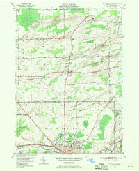
Editions of this 1950 Batavia North Map
2 editions found
Other maps of this area

1897 · Albion
USGS Topo · 1:62,500

1897 · Medina
USGS Topo · 1:62,500

1904 · Batavia
USGS Topo · 1:62,500

1905 · Attica
USGS Topo · 1:62,500

1944 · Alexander
USGS Topo · 1:31,680

1944 · Holley
USGS Topo · 1:31,680

1944 · Byron
USGS Topo · 1:31,680

1944 · Stafford
USGS Topo · 1:31,680

1944 · Albion
USGS Topo · 1:31,680

1949 · Attica
USGS Topo · 1:62,500