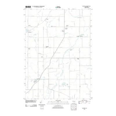
2010 Map of Batavia
USGS Topo · Published 2010About this map
The North Branch Milwaukee River carves a winding path through this Sheboygan County landscape, connecting the rural communities of Batavia, Beechwood, and Boltonville. This 2010 survey illustrates a region defined by its glacial hydrology and agricultural roots, where numerous small waterways like Mink Creek and Stony Creek feed into larger basins. Local history is anchored by a significant number of denominational burial grounds, including the Saint Stephen Lutheran Cemetery and Zion United Methodist Cemetery, which reflect the area's early settlement patterns.
Find a feature on this map
67 named features on this map. Tap any name to fly to it.
Don’t see what you’re looking for? This feature index may not catch every label — zoom into the map to look around manually.
Map Details
Editions of this 2010 Batavia Map
This is the sole edition of this map. No revisions or reprints were ever made.
Other maps of this area

1892 · Port Washington
USGS Topo · 1:62,500

1904 · West Bend
USGS Topo · 1:62,500

1904 · Port Washington
USGS Topo · 1:62,500

1954 · Sheboygan Falls
USGS Topo · 1:62,500

1954 · Milwaukee
USGS Topo · 1:250,000

1955 · Kewaskum
USGS Topo · 1:62,500

1957 · Madison
USGS Topo · 1:250,000

1958 · Milwaukee
USGS Topo · 1:250,000

1959 · Port Washington West
USGS Topo · 1:24,000

1959 · West Bend
USGS Topo · 1:62,500