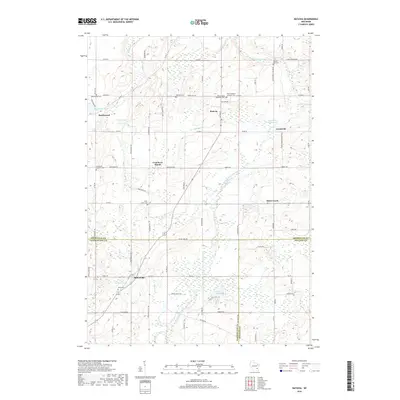
2018 Map of Batavia
USGS Topo · Published 2018About this map
The North Branch Milwaukee River carves through this Wisconsin landscape where Sheboygan, Washington, and Ozaukee counties meet. The settlement of Batavia sits centrally, surrounded by a network of smaller communities including Beechwood, Gooseville, and Boltonville. This 2018 survey reveals a terrain defined by glacial leftovers, from the expanse of the Cranberry Marsh to scattered water bodies like Lake Sixteen and Lake Twelve.
Find a feature on this map
74 named features on this map. Tap any name to fly to it.
Don’t see what you’re looking for? This feature index may not catch every label — zoom into the map to look around manually.
Map Details
Editions of this 2018 Batavia Map
This is the sole edition of this map. No revisions or reprints were ever made.
Other maps of this area
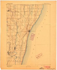
1892 · Port Washington
USGS Topo · 1:62,500
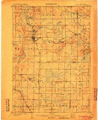
1904 · West Bend
USGS Topo · 1:62,500
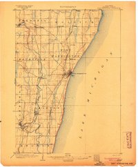
1904 · Port Washington
USGS Topo · 1:62,500
1954 · Sheboygan Falls
USGS Topo · 1:62,500

1954 · Milwaukee
USGS Topo · 1:250,000
1955 · Kewaskum
USGS Topo · 1:62,500

1957 · Madison
USGS Topo · 1:250,000

1958 · Milwaukee
USGS Topo · 1:250,000
1959 · Port Washington West
USGS Topo · 1:24,000
1959 · West Bend
USGS Topo · 1:62,500