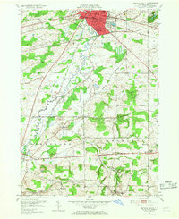
1950 Map of Batavia South
USGS Topo · Published 1952About this map
The Batavia city boundary serves as a northern anchor for this 1950s survey, where the urban street grid of Main St and Clinton St gives way to the agricultural landscape of Genesee County. A heavy concentration of rail infrastructure defines the local economy, with the New York Central, Erie RR, Lehigh Valley, and Delaware Lackawanna and Western RR all traversing the terrain. These lines connect outlying hamlets like North Alexander, East Alexander, and West Bethany.
Find a feature on this map
46 named features on this map. Tap any name to fly to it.
Don’t see what you’re looking for? This feature index may not catch every label — zoom into the map to look around manually.
Map Details
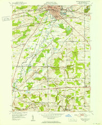
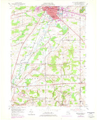
Editions of this 1950 Batavia South Map
Other maps of this area

1897 · Albion
USGS Topo · 1:62,500

1897 · Medina
USGS Topo · 1:62,500

1904 · Batavia
USGS Topo · 1:62,500

1905 · Attica
USGS Topo · 1:62,500

1944 · Alexander
USGS Topo · 1:31,680

1944 · Byron
USGS Topo · 1:31,680

1944 · Stafford
USGS Topo · 1:31,680

1949 · Attica
USGS Topo · 1:62,500

1949 · Alexander
USGS Topo · 1:24,000
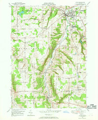
1949 · Attica
USGS Topo · 1:24,000