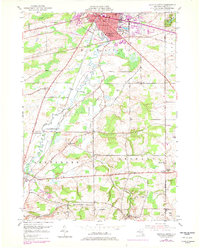
1950 Map of Batavia South
USGS Topo · Published 1979About this map
Batavia and its southern agricultural hinterlands are the focus of this mid-century survey, edited in the late 1970s. The landscape is defined by the winding course of Tonawanda Creek and its tributary, Little Tonawanda Creek, which pass through the townships of Alexander and Bethany. The city itself shows significant development, with the City Boundary encompassing Kibbe Park and civic markers such as City Hall and several local schools like Jackson Sch. Transport relies on the Conrail lines and a network of named country roads, including Pearl Street and Broadway.
Find a feature on this map
44 named features on this map. Tap any name to fly to it.
Don’t see what you’re looking for? This feature index may not catch every label — zoom into the map to look around manually.
Map Details
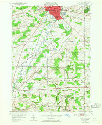
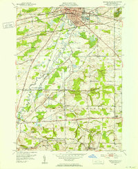
Editions of this 1950 Batavia South Map
Other maps of this area

1897 · Albion
USGS Topo · 1:62,500

1897 · Medina
USGS Topo · 1:62,500

1904 · Batavia
USGS Topo · 1:62,500

1905 · Attica
USGS Topo · 1:62,500

1944 · Alexander
USGS Topo · 1:31,680

1944 · Byron
USGS Topo · 1:31,680

1944 · Stafford
USGS Topo · 1:31,680

1949 · Attica
USGS Topo · 1:62,500

1949 · Alexander
USGS Topo · 1:24,000
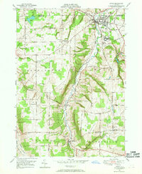
1949 · Attica
USGS Topo · 1:24,000