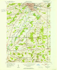
1950 Map of Batavia South
USGS Topo · Published 1968About this map
Batavia serves as a dense transit hub where the New York Central, Lehigh Valley, and Erie RR rail lines converge, framing the city's southern residential and industrial edge. The landscape is defined by the winding course of Tonawanda Creek, which meanders past Jackson Hill and the Fairgrounds. Beyond the city limits, the map reveals a rural geography of crossroads hamlets such as East Alexander and Brookville.
Find a feature on this map
43 named features on this map. Tap any name to fly to it.
Don’t see what you’re looking for? This feature index may not catch every label — zoom into the map to look around manually.
Map Details
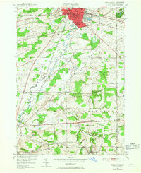
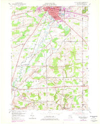
Editions of this 1950 Batavia South Map
Other maps of this area

1897 · Albion
USGS Topo · 1:62,500

1897 · Medina
USGS Topo · 1:62,500

1904 · Batavia
USGS Topo · 1:62,500

1905 · Attica
USGS Topo · 1:62,500

1944 · Alexander
USGS Topo · 1:31,680

1944 · Byron
USGS Topo · 1:31,680

1944 · Stafford
USGS Topo · 1:31,680

1949 · Attica
USGS Topo · 1:62,500

1949 · Alexander
USGS Topo · 1:24,000
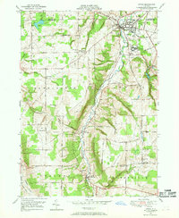
1949 · Attica
USGS Topo · 1:24,000