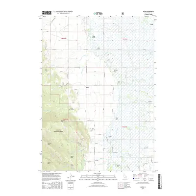
2017 Map of Bates
USGS Topo · Published 2017About this map
The Teton River flows through the heart of this valley landscape, creating a complex network of sloughs and bends that define the eastern portion of the survey. The Teton Basin provides a flat, fertile floor for small agricultural settlements like Bates and Cedron, which are anchored by their respective local landmarks, Bates Cem and Cedron Cem. These communities are connected by a grid of rural roads, including Victor-Cedron-Bates Rd, reflecting the long-standing importance of local transit between Teton Valley homesteads.
Find a feature on this map
87 named features on this map. Tap any name to fly to it.
Don’t see what you’re looking for? This feature index may not catch every label — zoom into the map to look around manually.
Map Details
Editions of this 2017 Bates Map
This is the sole edition of this map. No revisions or reprints were ever made.
Other maps of this area

1943 · Driggs
USGS Topo · 1:62,500

1943 · Garns Mtn
USGS Topo · 1:62,500

1946 · Driggs
USGS Topo · 1:62,500

1946 · Garns Mtn
USGS Topo · 1:62,500

1955 · Driggs
USGS Topo · 1:250,000

1958 · Driggs
USGS Topo · 1:250,000

1962 · Driggs
USGS Topo · 1:250,000

1965 · Packsaddle Lake
USGS Topo · 1:24,000

1965 · Clawson
USGS Topo · 1:24,000
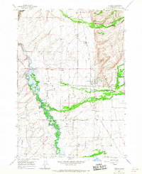
1965 · Tetonia
USGS Topo · 1:24,000