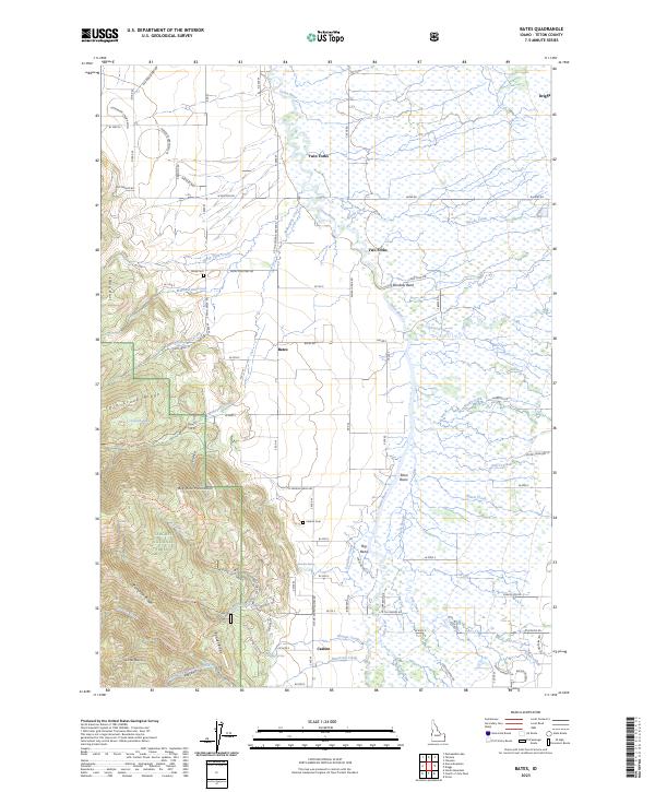
2023 Map of Bates
USGS Topo · Published 2023About this map
The Teton Basin dominates this portion of eastern Idaho, where the Teton River meanders through a landscape of wetlands and complex waterways. The settlement at Bates serves as a central point in this agricultural valley, flanked by the Big Hole Mountains to the southwest. This modern survey illustrates the persistent rural character of the region, where land use is defined by irrigation features like the Tonks Canal and natural springs such as Paradise Spring. To the west, the topography rises sharply into the Targhee National Forest, marked by distinct geographic features including Twin Creek Ridge and Patterson Ridge. Genealogists and local historians will find the locations of Bates Cem and Cedron Cem useful for documenting early families in the Cedron and Twin Forks vicinities.
Find a feature on this map
80 named features on this map. Tap any name to fly to it.
Don’t see what you’re looking for? This feature index may not catch every label — zoom into the map to look around manually.
Map Details
Editions of this 2023 Bates Map
This is the sole edition of this map. No revisions or reprints were ever made.
Other maps of this area

1943 · Driggs
USGS Topo · 1:62,500

1943 · Garns Mtn
USGS Topo · 1:62,500

1946 · Driggs
USGS Topo · 1:62,500

1946 · Garns Mtn
USGS Topo · 1:62,500

1955 · Driggs
USGS Topo · 1:250,000

1958 · Driggs
USGS Topo · 1:250,000

1962 · Driggs
USGS Topo · 1:250,000

1965 · Packsaddle Lake
USGS Topo · 1:24,000

1965 · Clawson
USGS Topo · 1:24,000
1965 · Tetonia
USGS Topo · 1:24,000