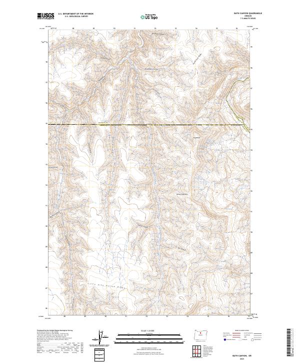
2023 Map of Bath Canyon
USGS Topo · Published 2023About this map
John Day Wild And Scenic River defines the northeastern boundary of this landscape, carving through the high plateau where Wasco Co, Sherman Co, and Gilliam Co meet. The terrain is a complex network of deeply incised drainages, including Bath Canyon, McLennan Canyon, and Cramer Canyon, which fall away from prominent landforms like North Pole Ridge and the distinctively shaped Sugarloaf. This region is characterized by its vital water sources for ranching and wildlife, marked by numerous named points such as Heany Spring, Rattlesnake Spring, and Rock Spring.
Find a feature on this map
34 named features on this map. Tap any name to fly to it.
Don’t see what you’re looking for? This feature index may not catch every label — zoom into the map to look around manually.
Map Details
Editions of this 2023 Bath Canyon Map
This is the sole edition of this map. No revisions or reprints were ever made.
Other maps of this area

1916 · Condon
USGS Topo · 1:125,000

1926 · Mitchell
USGS Topo · 1:125,000

1953 · The Dalles
USGS Topo · 1:250,000

1955 · Bend
USGS Topo · 1:250,000

1956 · The Dalles
USGS Topo · 1:250,000

1957 · Bend
USGS Topo · 1:250,000

1957 · The Dalles
USGS Topo · 1:250,000

1958 · Bend
USGS Topo · 1:250,000

1966 · Antelope
USGS Topo · 1:62,500

1966 · Clarno
USGS Topo · 1:62,500