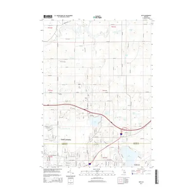
2014 Map of Bath
USGS Topo · Published 2014About this map
Bath and the northern outskirts of East Lansing define this mid-Michigan landscape along the border of Clinton and Ingham counties. The northern half of the survey is dominated by the meandering course of the Looking Glass River and a collection of glacial water bodies, including Whitman Lake, Brindle Lake, and the expansive Rose Lake wildlife area. These natural features contrast with the increasingly suburban character to the south near Haslett.
Find a feature on this map
122 named features on this map. Tap any name to fly to it.
Don’t see what you’re looking for? This feature index may not catch every label — zoom into the map to look around manually.
Map Details
Editions of this 2014 Bath Map
This is the sole edition of this map. No revisions or reprints were ever made.
Other maps of this area

1909 · Mason
USGS Topo · 1:62,500

1910 · Lansing
USGS Topo · 1:62,500

1911 · Mason
USGS Topo · 1:62,500

1912 · Lansing
USGS Topo · 1:62,500

1927 · De Witt
USGS Topo · 1:62,500

1928 · Laingsburg
USGS Topo · 1:62,500

1944 · Laingsburg
USGS Topo · 1:62,500

1958 · Grand Rapids
USGS Topo · 1:250,000

1961 · Grand Rapids
USGS Topo · 1:250,000

1962 · Grand Rapids
USGS Topo · 1:250,000
Featured Places
- East Lansing, MI
- Victor Township, MI
- Olive Township, MI
- DeWitt Charter Township, MI
- Bath Charter Township, MI