
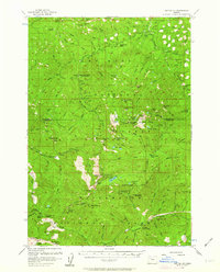
1956 Map of Battle Ax
USGS Topo · Published 1958About this map
Bagby Hot Springs and the surrounding high country define this mid-1950s survey of the Cascade Range interior. The landscape is a network of fire lookouts and back-country shelters, reflecting an era of intensive forest management and early recreational development. Locations like the Bagby Hot Springs Guard Station and Alder Swamp Shelter served as vital hubs for rangers and early hikers traversing the Nohorn Trail.
Find a feature on this map
97 named features on this map. Tap any name to fly to it.
Don’t see what you’re looking for? This feature index may not catch every label — zoom into the map to look around manually.
Map Details
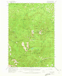
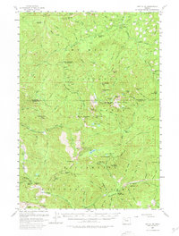
Editions of this 1956 Battle Ax Map
4 editions found
Other maps of this area

1916 · Estacada
USGS Topo · 1:125,000

1924 · Mount Hood
USGS Topo · 1:125,000

1927 · Mount Hood
USGS Topo · 1:125,000

1927 · Mt. Jefferson
USGS Topo · 1:125,000

1929 · Mill City
USGS Topo · 1:125,000

1930 · Mt. Jefferson
USGS Topo · 1:125,000

1948 · Vancouver
USGS Topo · 1:250,000

1950 · Vancouver
USGS Topo · 1:250,000

1950 · Vancouver
USGS Topo · 1:250,000

1953 · Salem
USGS Topo · 1:250,000