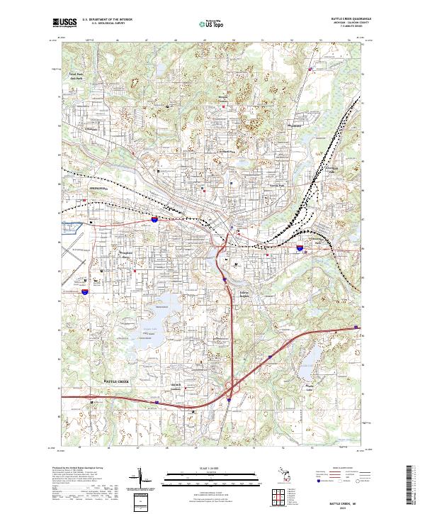
2023 Map of Battle Creek
USGS Topo · Published 2023About this map
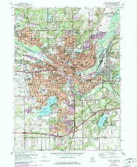
The confluence of the Kalamazoo River and the Battle Creek river defines this urban and suburban Michigan landscape. Residential growth centers on several established neighborhoods such as Verona Park, Maplehurst, and Springfield, while the industrial and transportation heritage of the area is represented by Grand Trunk Ave and the W K Kellogg Airport. Local history and genealogy are well-preserved across the map through a series of small, family-named burial grounds like the Harmon Halladay Cem and Youngs Cem. Recreational and natural spaces are concentrated around significant water bodies, including Goguac Lake, which features Ward Island, Clark Island, and Vince Island. To the east, Beadle Lake and Mud Lake provide additional geographic contrast to the dense street grids of Battle Creek. This modern survey also traces the North Country National Scenic Trl as it winds through the metropolitan area.
Find a feature on this map
44 named features on this map. Tap any name to fly to it.
Don’t see what you’re looking for? This feature index may not catch every label — zoom into the map to look around manually.
Map Details
Editions of this 2023 Battle Creek Map
This is the sole edition of this map. No revisions or reprints were ever made.
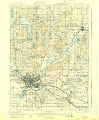
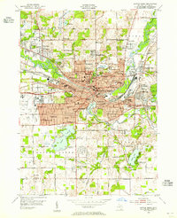
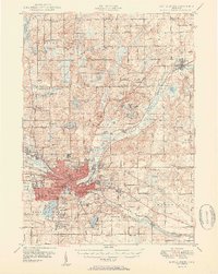
Historical Maps of Urbandale Through Time
6 maps found

Featured Locations
- Bedford Charter Township, MI
- Emmett Charter Township, MI
- Pennfield Charter Township, MI
- Springfield, MI
- Battle Creek, MI