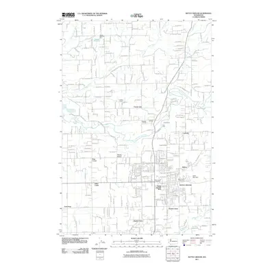
2011 Map of Battle Ground
USGS Topo · Published 2011About this map
Battle Ground serves as the primary municipal center in this 2011 survey of Clark County, Washington, where suburban development meets the agricultural heritage of the Pacific Northwest. The East Fork Lewis River defines the northern reaches of the quadrangle, flowing past Lewisville and the expansive Lewisville Park. The landscape is characterized by a series of small, historic crossroads and residential clusters, including Charter Oak, Cherry Grove, and Meadow Glade. Local landmarks like Tukes Mountain provide significant vertical relief above the surrounding valleys drained by Mill Creek and Salmon Creek. Aviation interests are represented by Goheen Airport and Parkside Airport, while the Battle Ground Fairgrounds and Battle Ground Post Office mark essential community nodes. For those conducting genealogical research, the map clearly identifies the Lewisville Cemetery and Dublin Cemetery, offering specific locations for ancestral study in this rapidly evolving region.
Find a feature on this map
104 named features on this map. Tap any name to fly to it.
Don’t see what you’re looking for? This feature index may not catch every label — zoom into the map to look around manually.
Map Details
Editions of this 2011 Battle Ground Map
This is the sole edition of this map. No revisions or reprints were ever made.
Other maps of this area

1897 · Portland
USGS Topo · 1:62,500

1905 · Portland
USGS Topo · 1:62,500

1918 · Troutdale
USGS Topo · 1:62,500

1934 · Troutdale
USGS Topo · 1:48,000

1940 · Portland
USGS Topo · 1:62,500

1940 · La Center
USGS Topo · 1:62,500

1941 · Yacolt
USGS Topo · 1:62,500

1941 · Camas
USGS Topo · 1:62,500

1942 · Camas
USGS Topo · 1:62,500

1948 · Vancouver
USGS Topo · 1:250,000