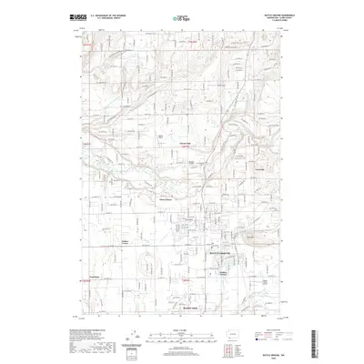
2020 Map of Battle Ground
USGS Topo · Published 2020About this map
Battle Ground serves as the primary hub of this landscape, situated at the junction of several key regional routes. The map illustrates a transition from the structured residential blocks of the city center to the surrounding rural outposts of Cherry Grove, Dollars Corner, and Charter Oak. The northern reaches are defined by the winding course of the East Fork Lewis River, which creates a distinct boundary for the community of Lewisville.
Find a feature on this map
118 named features on this map. Tap any name to fly to it.
Don’t see what you’re looking for? This feature index may not catch every label — zoom into the map to look around manually.
Map Details
Editions of this 2020 Battle Ground Map
This is the sole edition of this map. No revisions or reprints were ever made.
Other maps of this area

1897 · Portland
USGS Topo · 1:62,500

1905 · Portland
USGS Topo · 1:62,500

1918 · Troutdale
USGS Topo · 1:62,500

1934 · Troutdale
USGS Topo · 1:48,000

1940 · Portland
USGS Topo · 1:62,500

1940 · La Center
USGS Topo · 1:62,500

1941 · Yacolt
USGS Topo · 1:62,500

1941 · Camas
USGS Topo · 1:62,500

1942 · Camas
USGS Topo · 1:62,500

1948 · Vancouver
USGS Topo · 1:250,000