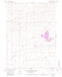
1960 Map of Battle Spring
USGS Topo · Published 1982About this map
Battle Spring and its surrounding high desert landscape are documented here as they appeared before the turn of the century and through mid-century revisions. The map highlights a remote section of Sweetwater County, where the hydrology is dominated by seasonal drainage and the namesake Battle Spring. Significant industrial activity is evident through the inclusion of a large Tailings Pond and several X Prospect sites, indicating the era's reliance on mineral extraction in this part of the Missouri River Basin. The terrain transitions from the open Battle Spring Flat into a series of topographic depressions and a prominent Draw, illustrating the harsh but resource-rich environment that defined this region of Wyoming during the late twentieth century.
Find a feature on this map
11 named features on this map. Tap any name to fly to it.
Don’t see what you’re looking for? This feature index may not catch every label — zoom into the map to look around manually.
Map Details
Editions of this 1960 Battle Spring Map
2 editions found
Other maps of this area

1954 · Rawlins
USGS Topo · 1:250,000

1954 · Rock Springs
USGS Topo · 1:250,000

1955 · Lander
USGS Topo · 1:250,000

1955 · Casper
USGS Topo · 1:250,000

1958 · Rawlins
USGS Topo · 1:250,000

1958 · Casper
USGS Topo · 1:250,000

1958 · Lander
USGS Topo · 1:250,000

1958 · Rock Springs
USGS Topo · 1:250,000

1960 · Battle Spring
USGS Topo · 1:24,000

1960 · Hansen Lake NE
USGS Topo · 1:24,000