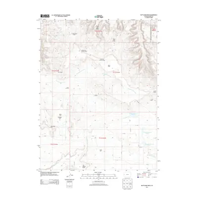
2013 Map of Battleship Rock
USGS Topo · Published 2013About this map
Glade Park serves as the primary hub in this high-plateau region of Mesa County, where the landscape is defined by the deep incisions of Rattlesnake Canyon and Mee Canyon. This era of the landscape shows a transition from historical land use to protected wilderness, as seen in the proximity of the Parrish Homestead and Leslie Homestead to the boundaries of the Colorado National Monument. The intricate drainage system, including Twentyeight Hole Wash and Trail Canyon Wash, illustrates the erosive forces that shaped landmarks like Battleship Rock and the Ela Natural Bridge. Water management is evident through the series of upland catchments such as Thompson Reservoir Number 3 and its counterparts. These features together document a ranching and homesteading history etched into a complex network of canyons and ridges along the Black Ridge spine.
Find a feature on this map
42 named features on this map. Tap any name to fly to it.
Don’t see what you’re looking for? This feature index may not catch every label — zoom into the map to look around manually.
Map Details
Editions of this 2013 Battleship Rock Map
This is the sole edition of this map. No revisions or reprints were ever made.
Other maps of this area

1934 · Colorado National Monument
USGS Topo · 1:24,000

1956 · Moab
USGS Topo · 1:250,000

1956 · Grand Junction
USGS Topo · 1:250,000

1959 · Grand Junction
USGS Topo · 1:250,000

1959 · Moab
USGS Topo · 1:250,000

1960 · Moab
USGS Topo · 1:250,000

1960 · Grand Junction
USGS Topo · 1:250,000

1962 · Moab
USGS Topo · 1:250,000

1962 · Grand Junction
USGS Topo · 1:250,000

1962 · Fruita
USGS Topo · 1:24,000