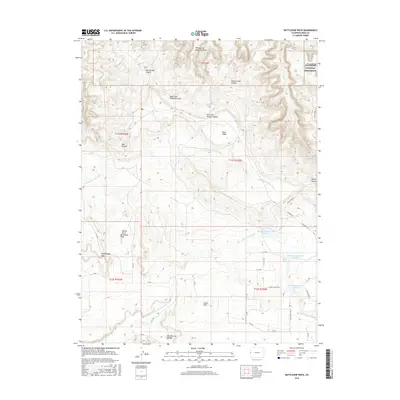
2016 Map of Battleship Rock
USGS Topo · Published 2016About this map
Colorado National Monument dominates the northern and eastern reaches of this map, where the high plateau gives way to the deep, complex drainages of Rattlesnake Canyon and Devils Canyon. The southern half of the sheet centers on the high-desert community of Glade Park, where a network of rural routes such as N 14 1/2 Rd and N Trail Canyon Dr serves a dispersed collection of residences and ranch lands.
Find a feature on this map
43 named features on this map. Tap any name to fly to it.
Don’t see what you’re looking for? This feature index may not catch every label — zoom into the map to look around manually.
Map Details
Editions of this 2016 Battleship Rock Map
This is the sole edition of this map. No revisions or reprints were ever made.
Other maps of this area

1934 · Colorado National Monument
USGS Topo · 1:24,000

1956 · Moab
USGS Topo · 1:250,000

1956 · Grand Junction
USGS Topo · 1:250,000

1959 · Grand Junction
USGS Topo · 1:250,000

1959 · Moab
USGS Topo · 1:250,000

1960 · Moab
USGS Topo · 1:250,000

1960 · Grand Junction
USGS Topo · 1:250,000

1962 · Moab
USGS Topo · 1:250,000

1962 · Grand Junction
USGS Topo · 1:250,000

1962 · Fruita
USGS Topo · 1:24,000