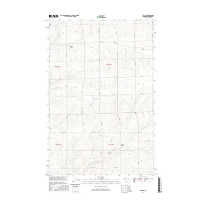
2017 Map of Batum
USGS Topo · Published 2017About this map
Batum serves as the quiet center of this agricultural landscape in Adams County, where the dry terrain is etched by drainage features like Rocky Coulee and Farrier Coulee. The map reveals a high-desert environment structured by a precise grid of local roads, including N Batum Rd and Tokio Rd, which connect remote ranching operations and family homesteads. An intriguing piece of Cold War history is visible near the center of the sheet, marked as a Titan Missile Silo, a relic of the region's strategic importance during the mid-20th century.
Find a feature on this map
35 named features on this map. Tap any name to fly to it.
Don’t see what you’re looking for? This feature index may not catch every label — zoom into the map to look around manually.
Map Details
Editions of this 2017 Batum Map
This is the sole edition of this map. No revisions or reprints were ever made.
Other maps of this area

1925 · Schrag
USGS Topo · 1:62,500

1953 · Ritzville
USGS Topo · 1:250,000

1959 · Ritzville
USGS Topo · 1:250,000

1965 · Ritzville
USGS Topo · 1:250,000

1967 · Reiman SW
USGS Topo · 1:24,000
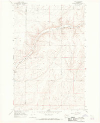
1967 · Ruff
USGS Topo · 1:24,000

1967 · Batum
USGS Topo · 1:24,000
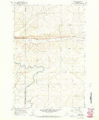
1967 · Weber
USGS Topo · 1:24,000

1967 · Reiman
USGS Topo · 1:24,000
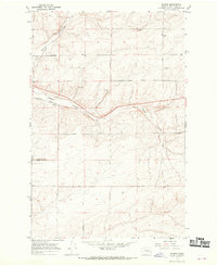
1967 · Schrag
USGS Topo · 1:24,000