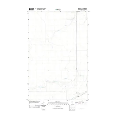
2013 Map of Baudette SW
USGS Topo · Published 2013About this map
Carp is situated in the southeastern corner of this Lake of the Woods County landscape, serving as a focal point in a territory dominated by intricate water systems. The map traces the winding paths of the Baudette River in the north and the N Br Rapid River as it moves across the southern plains toward its junction with the Rapid River. These watercourses dictate the geography of the region, flowing through a low-lying terrain characterized by subtle elevation changes and seasonal drainage. Transport is primarily facilitated by Co Hwy-1, which provides the main north-south arterial connection through this portion of northern Minnesota. Smaller tributaries like Kvalnes Cr weave between the larger rivers, illustrating the complex hydrology of the wetland-adjacent woods at the start of the 21st century.
Find a feature on this map
6 named features on this map. Tap any name to fly to it.
Don’t see what you’re looking for? This feature index may not catch every label — zoom into the map to look around manually.
Map Details
Editions of this 2013 Baudette SW Map
This is the sole edition of this map. No revisions or reprints were ever made.
Other maps of this area
1919 · Peppermint Creek
USGS Topo · 1:62,500
1919 · G
USGS Topo · 1:62,500
1919 · Knutson
USGS Topo · 1:62,500
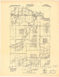
1921 · Baudette
USGS Topo · 1:62,500
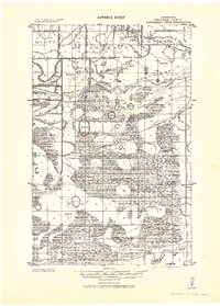
1943 · Peppermint Creek
USGS Topo · 1:62,500

1954 · Roseau
USGS Topo · 1:250,000

1957 · Roseau
USGS Topo · 1:250,000

1958 · Roseau
USGS Topo · 1:250,000
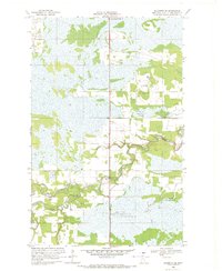
1968 · Baudette SE
USGS Topo · 1:24,000
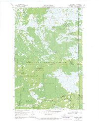
1968 · Graceton SE
USGS Topo · 1:24,000