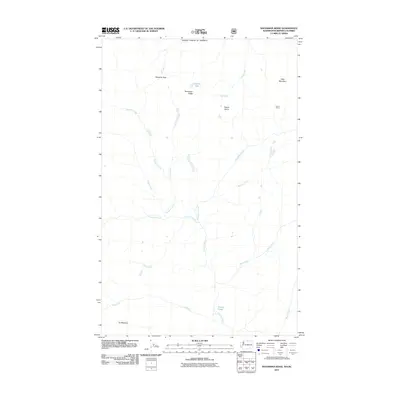
2011 Map of Bauerman Ridge
USGS Topo · Published 2011About this map
Bauerman Ridge and the surrounding high-altitude drainage systems dominate this 2011 survey of the northern Washington borderlands. This mountainous landscape is defined by the headwaters of the Chewuch River, which is fed by numerous named tributaries including Tungsten Creek, Cinch Creek, and Horseshoe Creek. The presence of Dome Camp and Vic Meadow indicates established seasonal routes or activity in a region where travel is dictated by natural gaps like Scheelite Pass.
Find a feature on this map
20 named features on this map. Tap any name to fly to it.
Don’t see what you’re looking for? This feature index may not catch every label — zoom into the map to look around manually.
Map Details
Editions of this 2011 Bauerman Ridge Map
This is the sole edition of this map. No revisions or reprints were ever made.
Other maps of this area

1906 · Chopaka
USGS Topo · 1:125,000

1954 · Okanogan
USGS Topo · 1:250,000

1955 · Concrete
USGS Topo · 1:250,000

1956 · Horseshoe Basin
USGS Topo · 1:62,500

1958 · Concrete
USGS Topo · 1:250,000

1958 · Okanogan
USGS Topo · 1:250,000

1962 · Concrete
USGS Topo · 1:250,000

1969 · Mt. Barney
USGS Topo · 1:24,000

1969 · Remmel Mtn.
USGS Topo · 1:24,000
1969 · Coleman Peak
USGS Topo · 1:24,000