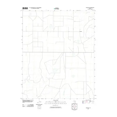
2010 Map of Bautista
USGS Topo · Published 2010About this map
Bautista sits at a crossroads in Moore County, marking a pocket of settlement in the Texas Panhandle during the early 21st century. The landscape is defined by the drainage networks of several seasonal waterways, including Big Blue Creek and Little Blue Creek in the northeast, while Indian Creek and Little Indian Creek carve paths through the southern reaches. This 2010 survey illustrates the rigid, grid-like division of the land typical of the region's agricultural and ranching heritage, with large rectangular tracts bounded by routes such as FM 2202, Road W, and W Rd X. The map serves as a detailed record of the rural infrastructure and drainage patterns that sustain this high plains environment.
Find a feature on this map
8 named features on this map. Tap any name to fly to it.
Don’t see what you’re looking for? This feature index may not catch every label — zoom into the map to look around manually.
Map Details
Editions of this 2010 Bautista Map
This is the sole edition of this map. No revisions or reprints were ever made.
Other maps of this area

1936 · Fourways
USGS Topo · 1:62,500

1953 · Marsh
USGS Topo · 1:24,000

1953 · Masterson
USGS Topo · 1:24,000

1954 · Tucumcari
USGS Topo · 1:250,000

1954 · Amarillo
USGS Topo · 1:250,000

1958 · Amarillo
USGS Topo · 1:250,000

1958 · Tucumcari
USGS Topo · 1:250,000

1963 · Bird Ranch Store
USGS Topo · 1:24,000

1963 · Stallwitz Lake
USGS Topo · 1:24,000

1965 · Dumas South
USGS Topo · 1:24,000