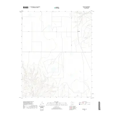
2019 Map of Bautista
USGS Topo · Published 2019About this map
The high plains of Moore County are defined by deep drainage systems and the isolated settlement of Bautista. This 2019 survey captures the geography of the Texas Panhandle, where the landscape is marked by the winding courses of Big Blue Creek and Little Blue Cr in the northeast. To the southwest, the terrain grows increasingly complex as it breaks into the canyons and draws of Indian Creek and Little Indian Cr. The map reveals a structured grid of agricultural roads, including Middlewell Rd and Fm R2707, which navigate the wide plateaus between these watercourses. This layout highlights the intersection of modern ranching infrastructure with the natural riparian corridors of Sand Cr, offering a clear view of how land use and topography coexist in this region of Texas.
Find a feature on this map
12 named features on this map. Tap any name to fly to it.
Don’t see what you’re looking for? This feature index may not catch every label — zoom into the map to look around manually.
Map Details
Editions of this 2019 Bautista Map
This is the sole edition of this map. No revisions or reprints were ever made.
Other maps of this area

1936 · Fourways
USGS Topo · 1:62,500

1953 · Marsh
USGS Topo · 1:24,000

1953 · Masterson
USGS Topo · 1:24,000

1954 · Tucumcari
USGS Topo · 1:250,000

1954 · Amarillo
USGS Topo · 1:250,000

1958 · Amarillo
USGS Topo · 1:250,000

1958 · Tucumcari
USGS Topo · 1:250,000

1963 · Bird Ranch Store
USGS Topo · 1:24,000

1963 · Stallwitz Lake
USGS Topo · 1:24,000

1965 · Dumas South
USGS Topo · 1:24,000