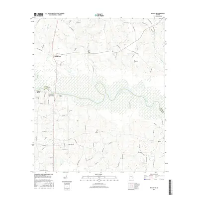
2017 Map of Baxley NE
USGS Topo · Published 2017About this map
The Altamaha River meanders through the heart of this landscape, forming the natural boundary between Toombs and Appling counties. The river valley is characterized by wide wetlands and distinct riverine features like Falling Rocks and Piney Bluff, while the surrounding uplands are dotted with small family and community burial grounds. Genealogists will find a high density of these sites, including Old Campground Cem, Griner Cem, and Moody Cem, which speak to the area's deep-rooted settlement history. In the northern reaches, the small community of English Eddy sits near the crossing of Williams Cr, while the southern portion of the map is defined by the winding course of Bay Creek and Roaring Creek. Modern infrastructure is represented by the Joseph Simmons Alexander Senior Memorial Bridge, providing a crossing point over the river's extensive floodplain.
Find a feature on this map
83 named features on this map. Tap any name to fly to it.
Don’t see what you’re looking for? This feature index may not catch every label — zoom into the map to look around manually.
Map Details
Editions of this 2017 Baxley NE Map
This is the sole edition of this map. No revisions or reprints were ever made.
Other maps of this area

1953 · Waycross
USGS Topo · 1:250,000

1957 · Macon
USGS Topo · 1:250,000

1958 · Macon
USGS Topo · 1:250,000

1958 · Waycross
USGS Topo · 1:250,000

1964 · Macon
USGS Topo · 1:250,000

1970 · Johnson Corner
USGS Topo · 1:24,000

1970 · Alston
USGS Topo · 1:24,000

1970 · Reidsville West
USGS Topo · 1:24,000
1970 · Altamaha
USGS Topo · 1:24,000

1970 · Baxley NE
USGS Topo · 1:24,000